We already told you : we love to check the weather from a satellite perspective. Justine S. and Pierre L. (currently enrolled with the SCS programme) are working on how to improve the processing the weather images. So far, they achieved quite nice results.
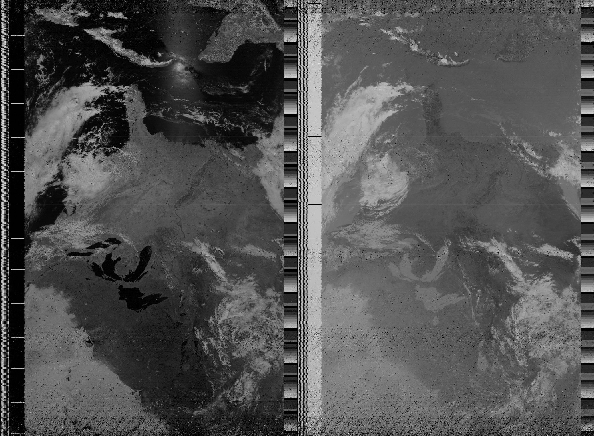
Here is what we had before, with our plain and rustic processing:
And here is the same Florida after some enhanced processing (we’ll speak about what sort of enhancements in a later post):
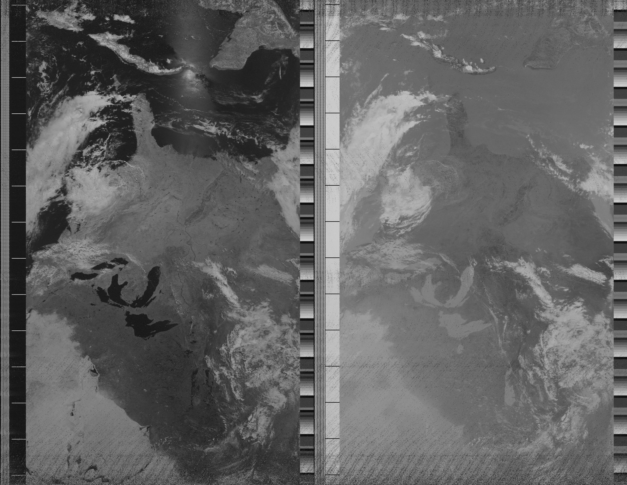
At first glance, the original picture may seem to deliver a better contrast, but look at the details: line synchronization and noise within the image. The improvement is striking. They even took a (somewhat wild) walk on the color processing side:
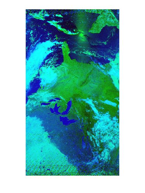
But that’s a different (psychedelic) story …